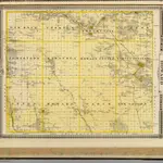
地图 霍華德縣 (愛阿華州)
 1875|Andreas, A. T. (Alfred Theodore), 1839-19001:154 800
 1842
1842
 1875|Andreas, A. T. (Alfred Theodore), 1839-19001:154 800
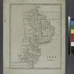
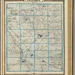 1875|Andreas, A. T. (Alfred Theodore), 1839-19001:126 720
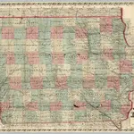 1869|Chapman, Silas1:650 000
 1874|Colton, G.W.1:950 000
 1869|Colton, G.W.1:950 000