地图 盧嫩堡
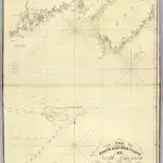 1828|Blunt, Edmund M. (Edmund March), 1770-18621:910 000
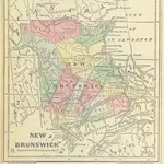 1874|HODGINS, John George.
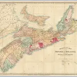 1868|Mackinlay, A. & W.1:570 240
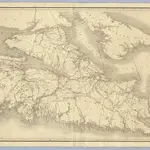 1855|Mackay, William1:390 000
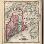 1867|Schonberg & Co.1:1 900 000
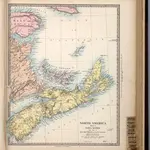 1865|Society for the Diffusion of Useful Knowledge (Great Britain)1:1 750 000
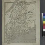 1842
1842