Kaarten van Ward County (North Dakota)
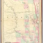
 1875|Asher & Adams1:1 260 000
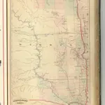
 1874|Asher & Adams1:1 267 200
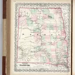 1874|Colton, G.W.1:2 090 880
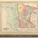 1859|Mitchell, Samuel Augustus1:2 400 000
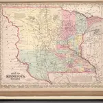 1857|Mitchell, Samuel Augustus1:2 400 000
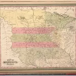 1850|Mitchell, Samuel Augustus1:2 463 282
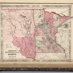 1864|Johnson, A.J.1:4 850 000