Project
Gemeenschap
Nieuws
Mijn app
Mijn kaarten
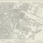
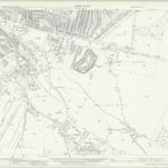
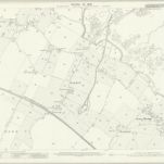
Kent XIX.8 (includes: Gillingham) - 25 Inch Map
1932
Ordnance Survey
1:3k
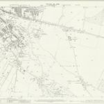
Kent XIX.8 (includes: Gillingham) - 25 Inch Map
1907
Ordnance Survey
1:3k
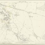
Kent XIX.8 (includes: Gillingham) - 25 Inch Map
1896
Ordnance Survey
1:3k
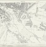
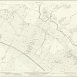
Kent XIX.12 (includes: Chatham; Gillingham) - 25 Inch Map
1939
Ordnance Survey
1:3k
Kent XIX.12 (includes: Chatham; Gillingham) - 25 Inch Map
1932
Ordnance Survey
1:3k
Kent XIX.12 (includes: Chatham; Gillingham) - 25 Inch Map
1907
Ordnance Survey
1:3k
Kent XIX.12 (includes: Chatham; Gillingham) - 25 Inch Map
1896
Ordnance Survey
1:3k
Rainham (Kent)
1797
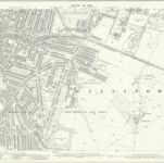
Kent XX.5 (includes: Gillingham) - 25 Inch Map
1932
Ordnance Survey
1:3k
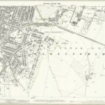
Kent XX.5 (includes: Gillingham) - 25 Inch Map
1906
Ordnance Survey
1:3k
History
Oude kaarten van Gillingham (Kent)
Ontdek het verleden van Gillingham (Kent) op historische kaarten
Oude kaarten van Gillingham (Kent)
Ontdek het verleden van Gillingham (Kent) op historische kaarten
Ontdek kaarten
Ontdek geschiedenis
Ouderlijke regio
Medway (Engeland)
Verwante plaatsen