

地図 ランゲル
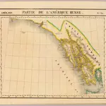 Partie, l'Amerique Russe. Amer. Sep. 23.1827|Vandermaelen, Philippe, 1795-18691:1 641 836
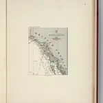 Facsimile: Imray's North Pacific (portion).1869|Imray, James
 the Northern Part of Chatham Strait1867|none
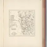 Facsimile: Part of Map of British North America. Arrowsmith.1863|Arrowsmith, John1:9 750 000
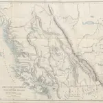 Vancouver Island and British Columbia. Their history, resources, and prospects. [With maps and illustrations.]1865|Macfie, Matthew.
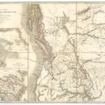 Map of the Oregon districts and the adjacent country1843|Wyld, James
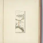 Facsimile: Russian Empire (portion).1854|Hill1:14 600 000
1600
1650
1700
1750
1800
1850
1900
1950
2000


ランゲルの古地図
歴史的な地図でランゲルの過去を発見する
ランゲルの古地図
歴史的な地図でランゲルの過去を発見する
を探している Google Maps APIの代替?