Cartes de Vista (Californie)
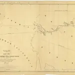
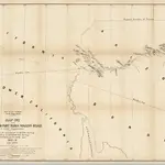 1858|Campbell, Albert1:6 000 000
 1858|Department of the Interior1:600 000
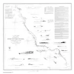 1853|U.S. Lake Survey1:1 200 000
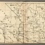 1866|Holdredge, Sterling M.1:3 400 000
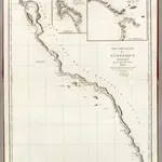 1828|Vancouver, George, 1757-17981:1 500 000
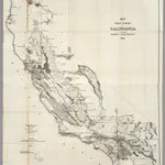 1856|U.S. General Land Office1:1 140 480
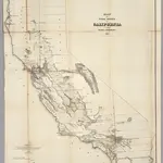 1855|U.S. General Land Office1:1 140 480