Projet
Communauté
Actualités
Mon appli
Mes cartes
Cartes de Dixon Lane-Meadow Creek
Recherche avancée
Tous
Privé
Favoris
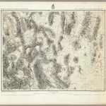
57. Parts Of Southern Nevada And Eastern California.
1871|Wheeler, G.M.
1:506 880
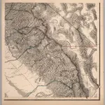
Topographical Map of Central California Together With a Part of Nevada, Sheet IV.
1873|Whitney, J.D.
1:380 160
Topographical Map of Central California Together With a Part of Nevada, Sheet IV.
1873|Whitney, J.D.
1:380 160
Topographical Map of Central California Together With a Part of Nevada, Sheet IV.
1873|Whitney, J.D.
1:380 160
Composite: Topographical Map of Central California Together With a Part of Nevada, Sheets III-IV.
1873|Whitney, J.D.
1:380 160
Map Of The San Joaquin, Sacramento And Tulare Valleys.
1873|United States. Congress
1:760 320
DeGroot's Map Of Nevada Territory.
1863|Holt, Warren
1:776 160
1600
1650
1700
1750
1800
1850
1900
1950
2000
L'histoire
Anciennes cartes de Dixon Lane-Meadow Creek
Découvrez le passé de Dixon Lane-Meadow Creek sur des cartes historiques
Anciennes cartes de Dixon Lane-Meadow Creek
Découvrez le passé de Dixon Lane-Meadow Creek sur des cartes historiques
Explorer les cartes
Découvrir l'histoire
Région parente
Comté d'Inyo
Lieux apparentés
© MapTiler
© OpenStreetMap
 1871|Wheeler, G.M.1:506 880
 1873|Whitney, J.D.1:380 160
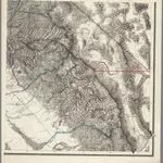 1873|Whitney, J.D.1:380 160
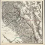 1873|Whitney, J.D.1:380 160
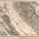 1873|Whitney, J.D.1:380 160
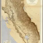 1873|United States. Congress1:760 320
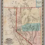 1863|Holt, Warren1:776 160