Project
Community
News
My App
My maps
Maps of Saint-Firmin, Saône-et-Loire
Advanced search
All
Private
Favorites
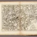
Morvan.
1827|Vincent
1:186 000
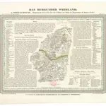
Das Burgunden Weinland
1837|Hellrung, Carl Ludwig
1:462 000
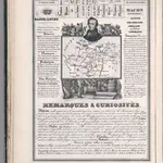
70. Saone et Loire. Macon (Bourgogne)
1842|Rivaux, Auguste
Département de Saône et Loire
1810|P. G. Chanlaire
1:260 000
Cassell's Illustrated History of the War between France and Germany, 1870-1871
1871|OLLIER, Edmund.
XXI. Stielers Karte v. Deutschland in 25 Blatt (continued).
1875|Stieler, Adolf
1:740 000
Cote-d'Or.
1869|Migeon, J.
1:175 440
1600
1650
1700
1750
1800
1850
1900
1950
2000
History
Old maps of Saint-Firmin, Saône-et-Loire
Discover the past of Saint-Firmin, Saône-et-Loire on historical maps
Old maps of Saint-Firmin, Saône-et-Loire
Discover the past of Saint-Firmin, Saône-et-Loire on historical maps
Explore Maps
Discover History
Parent places
Arrondissement of Autun
Related places
© MapTiler
© OpenStreetMap
 1827|Vincent1:186 000
 1837|Hellrung, Carl Ludwig1:462 000
 1842|Rivaux, Auguste
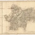 1810|P. G. Chanlaire1:260 000
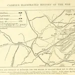 1871|OLLIER, Edmund.
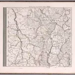 1875|Stieler, Adolf1:740 000
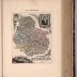 1869|Migeon, J.1:175 440