Maps of Saint-Didier, Jura
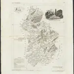 1836|publ. par Michel fils ainé1:670 000
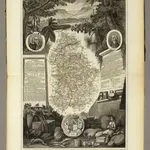 1856|Levasseur, Victor.1:571 000
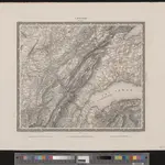 1835|entworfen und bearbeitet von Woerl ; in Stein gestochen unter seiner Leitung 1835 ; Lithographie von B. Herder1:200 000
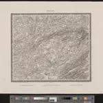 1835|entworfen und bearbeitet von Woerl ; in Stein gestochen unter seiner Leitung 1835 ; Lithographie von B. Herder1:200 000
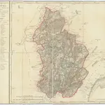 1810|P. G. Chanlaire1:260 000
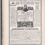 1842|Rivaux, Auguste
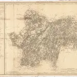 1810|P. G. Chanlaire1:260 000