Project
Community
News
My App
My maps
Maps of Olešná (Rakovník District)
Advanced search
All
Private
Favorites
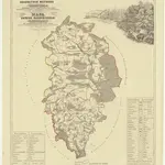
Karte des Rakonitzer Bezirkes im Prager Kreise
1861|Karl André
1:70 000
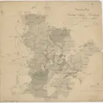
Situations Plan der Herrschaft Pürglitz und Kruschowitz dann des Gutes Nischburg und Wschetat
1800
Karte des Rakonitzer Bezirkes im Prager Kreise
1861|Karl André
1:70 000
Situations-Plan der Fürst zu Fürstenberg'schen Herrschaft Pürglitz, Kruschowitz, dann des Gutes Nischburg, Wschetatt und Wolleschna etc
1839|Bohutinský, Friedrich
1:84 000
Karte des Pürglitzer Bezirkes im Prager Kreise
1861|in Commission bei Karl André
1:72 000
Rakownický vikariát
1850
Situations-Plan der Fürst zu Fürstenberg'schen Herrschaft Pürglitz, Kruschowitz, dann des Gutes Nischburg, Wschettat und Wolleschna etc
1839|Bohutinsky, Friedrich
1:86 200
1600
1650
1700
1750
1800
1850
1900
1950
2000
History
Old maps of Olešná (Rakovník District)
Discover the past of Olešná (Rakovník District) on historical maps
Old maps of Olešná (Rakovník District)
Discover the past of Olešná (Rakovník District) on historical maps
Explore Maps
Discover History
Parent places
Rakovník District
Related places
© MapTiler
© OpenStreetMap
 1861|Karl André1:70 000
 1800
1800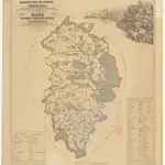 1861|Karl André1:70 000
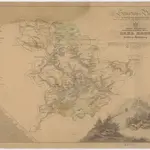 1839|Bohutinský, Friedrich1:84 000
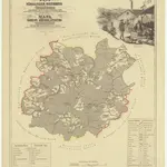 1861|in Commission bei Karl André1:72 000
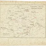 1850
1850 1839|Bohutinsky, Friedrich1:86 200