Project
Community
News
My App
My maps
Maps of Mellecey
Advanced search
All
Private
Favorites
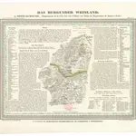
Das Burgunden Weinland
1837|Hellrung, Carl Ludwig
1:462 000
70. Saone et Loire. Macon (Bourgogne)
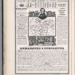
1842|Rivaux, Auguste
Département de Saône et Loire
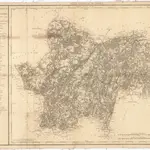
1810|P. G. Chanlaire
1:260 000
Cassell's Illustrated History of the War between France and Germany, 1870-1871
1871|OLLIER, Edmund.
XXI. Stielers Karte v. Deutschland in 25 Blatt (continued).
1875|Stieler, Adolf
1:740 000
Das Festland Sardinien
1850|Joh. Prasch
1:1 050 000
Panoramatic View of the frontier between France and Germany
1870|Meinhard, R.
1:771 000
1600
1650
1700
1750
1800
1850
1900
1950
2000
History
Old maps of Mellecey
Discover the past of Mellecey on historical maps
Old maps of Mellecey
Discover the past of Mellecey on historical maps
Explore Maps
Discover History
Parent places
Arrondissement of Chalon-sur-Saône
Related places
© MapTiler
© OpenStreetMap
 1837|Hellrung, Carl Ludwig1:462 000
 1842|Rivaux, Auguste
 1810|P. G. Chanlaire1:260 000
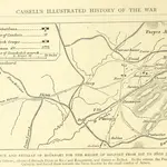 1871|OLLIER, Edmund.
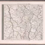 1875|Stieler, Adolf1:740 000
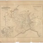 1850|Joh. Prasch1:1 050 000
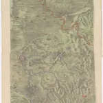 1870|Meinhard, R.1:771 000