Maps of La Chapelle-Montmartin
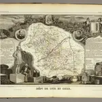
 1856|Levasseur, Victor.1:580 000
 1869|Migeon, J.1:151 520
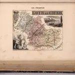
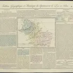 1826|gravé par Le Gagneur1:620 000
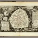
 1856|Levasseur, Victor.1:590 000
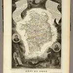 1856|Levasseur, Victor.1:563 000
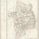 1810|P. G. Chanlaire et Dumez1:265 000
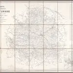 1862|Appé, Ad.; Robin, E.1:200 000