Maps of La Bâtie-Divisin
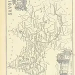 1864|LA BRUGÈRE, de Geographer
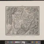 1835|entworfen und bearbeitet von Woerl ; in Stein gestochen unter seiner Leitung 1835 ; Lithographie von B. Herder1:200 000
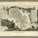
 1810|P. G. Chanlaire et Dumez1:260 000
 1856|Levasseur, Victor.1:563 000
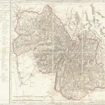 1810|P. G. Chanlaire et Dumez1:265 000
 1864|LA BRUGÈRE, de Geographer
 1836|publ. par Michel fils ainé1:670 000