Maps of Dammarie-sur-Saulx
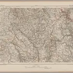 1870|Johannes Wilhelm Liebenow 1822-18971:300 000
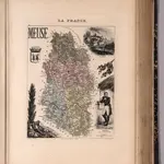 1869|Migeon, J.1:158 730
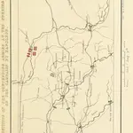 1839|MIKHAILOVSKY-DANILEVSKY, Aleksandr Ivanovich General
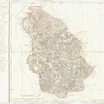
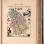 1869|Migeon, J.1:147 060
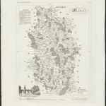 1836|publ. par Michel fils ainé1:670 000
 1810|P. G. Chanlaire1:260 000
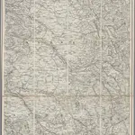 1870|Stanford's Geographical Establishment, Londen1:300 000