Maps of Châtelblanc
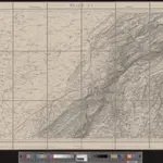
 1833|Dufour, G. H.1:100 000
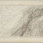
 1845|vermessen und hrsg. auf Befehl der Eidgenössischen Behörden ; aufgenommen unter der Aufsicht des Generals G.H. Dufour1:100 000
 1836|publ. par Michel fils ainé1:670 000
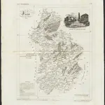
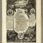 1856|Levasseur, Victor.1:571 000
 1830|dessinée et publié par Henri Keller ; Lithogr. von J. Schweizer = Charte der Schweiz mit den Grundrissen der Hauptorte der 22 Cantone1:200 000
 1874|Bonstetten, Gustav Karl <<von>>1:210 000
 1839|Lausanne : Spengler et Comp[agn]ie lithographes