Maps of Burnsville, Minnesota
 1874|Andreas, A. T. (Alfred Theodore), 1839-19001:150 000
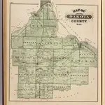
 1874|Andreas, A. T. (Alfred Theodore), 1839-19001:126 720
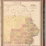 1849|Mitchell, Samuel Augustus1:1 400 000
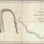 1835|Featherstonhaugh, G.W.1:506 880
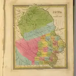 1845|Tanner, Henry S.1:1 700 000
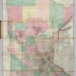 1866|Sewall, Joseph S.1:760 320
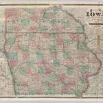 1871|Cram, George Franklin1:740 000