Maps of Battrans
 1870|Johannes Wilhelm Liebenow 1822-18971:300 000
 1842|Rivaux, Auguste
 1835|entworfen und bearbeitet von Woerl ; in Stein gestochen unter seiner Leitung 1835 ; Lithographie von B. Herder1:200 000
 1810|P. G. Chanlaire et Dumez1:260 000
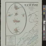 1830|dessinée et publié par Henri Keller ; Lithogr. von J. Schweizer = Charte der Schweiz mit den Grundrissen der Hauptorte der 22 Cantone1:200 000
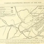 1871|OLLIER, Edmund.
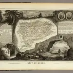 1856|Levasseur, Victor.1:571 000