Maps of Barst
 1870|Johannes Wilhelm Liebenow 1822-18971:300 000
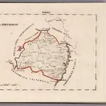
 1836|publ. par Michel fils ainé1:670 000
 1836|publ. par Michel fils ainé1:670 000
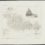
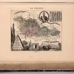 1869|Migeon, J.1:192 300
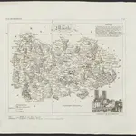
 1825|Hermann, O.1:220 000
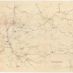 1870|Kgl. Hofbuchh. v. E.S. Mittler Sohn1:200 000
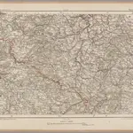
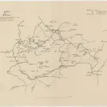 18701:490 000